Boundary surveys
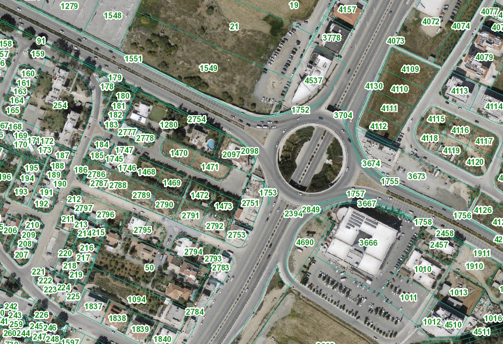
Parcel boundary surveys and property boundary determination, supported by the relevant cadastral procedures.
Surveying services for land, property and construction. From defining parcel boundaries to setting out your project.
Tell us about your project
We support property owners, architects, engineers and contractors with the surveying work each project requires.
Parcel boundary surveys and property boundary determination, supported by the relevant cadastral procedures.
Surveys of terrain, elevations and existing structures to support project planning and design.
Surveying support for plot developments, land subdivisions and horizontal or vertical property divisions.
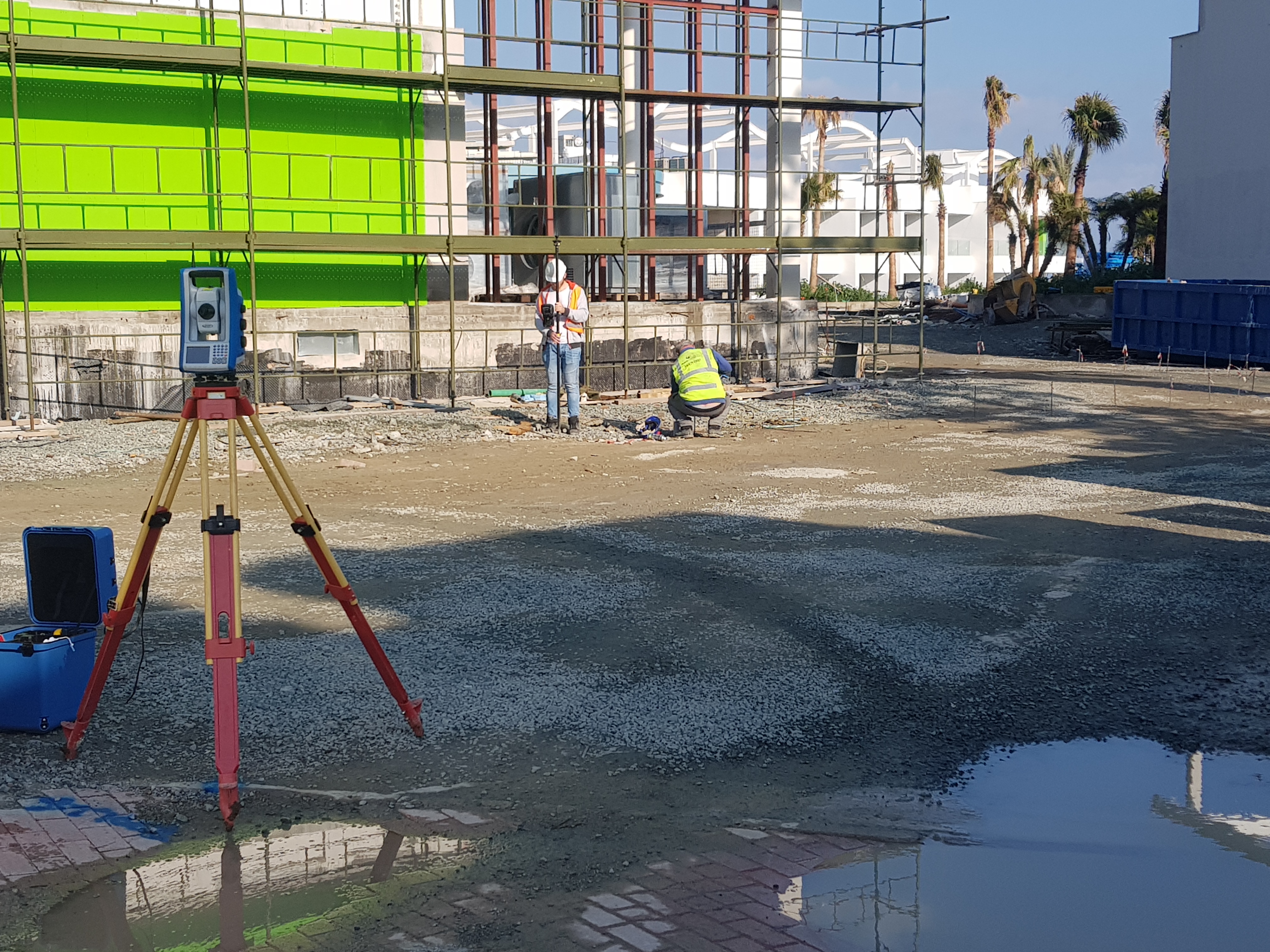
Transferring design information to the site, setting out positions and checking levels during construction.
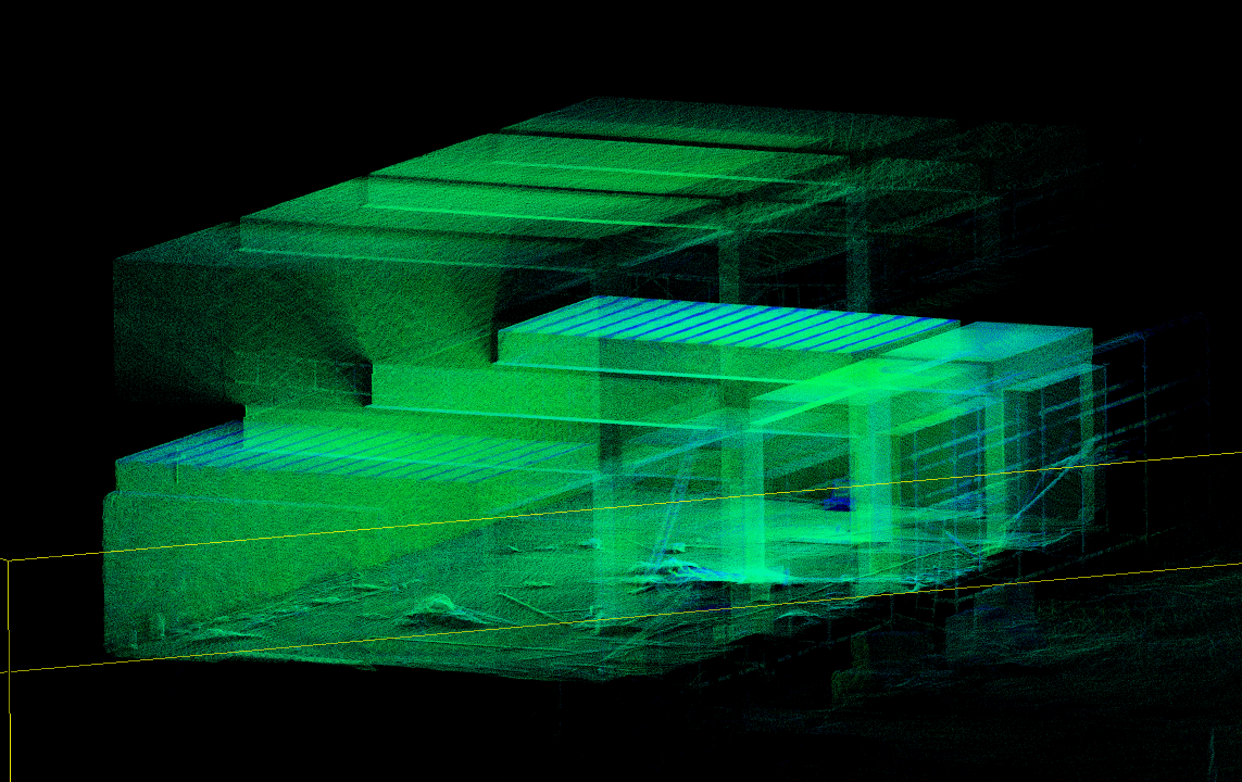
3D surveys of existing buildings and preparation of floor plans, elevations and sections. Laser scanning and drone surveys to document spaces and projects.
Utility surveys, underground infrastructure detection using GPR, and as-built drawings.
From 3D scanning and point clouds to the preparation of floor plans, elevations and sections.
Τοπομετρία is a surveying office based in Nicosia, serving all districts of Cyprus and projects abroad. We combine fieldwork with data processing and drawing preparation to meet the needs of your project.
Our equipment includes GNSS systems, robotic total stations and SLAM scanners for 3D surveys of spaces and buildings.
We start with the property details and the purpose of the survey, so we can define the next steps together.
Send us a brief description of the work.
For a land parcel, please include its location
and cadastral details.